Usage


I/O tabs
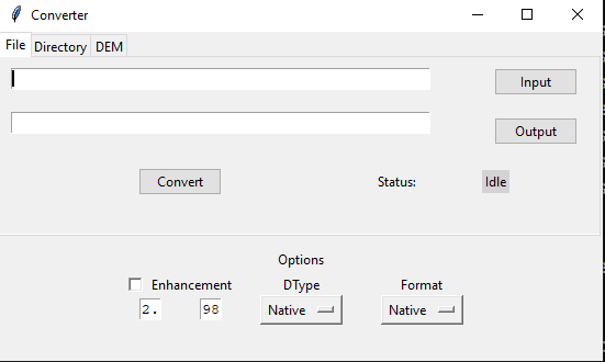
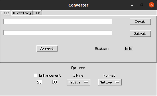
The GUI consists of three tabs for specifying input and output:
- File : Input is a single file and output is a single file
- Directory: Input is a directory and output is a directory
- DEM: Input is a DEM raster and output is a directory
Options
There are three main settings in the conversion process:
- Dtype: Output dtype format. Supports all valid gdal datatypes. Select
Nativeif you want the output dtype to be same as that of input. -
Format: Output file format. Select
Nativeif you want the output format to be same as that of input.Supports the following formats: Raster: * Cloud Optimized GeoTiff (COG), * GeoTiff (GTiff), * JPEG2000 (based on OpenJPEG library), * Erdas Imagine (IMG). 3D: * Cesium Terrain files (Terrain) * Quantized Mesh (Mesh) -
Contrast Enhancement: Apply percentile stretch to output raster.